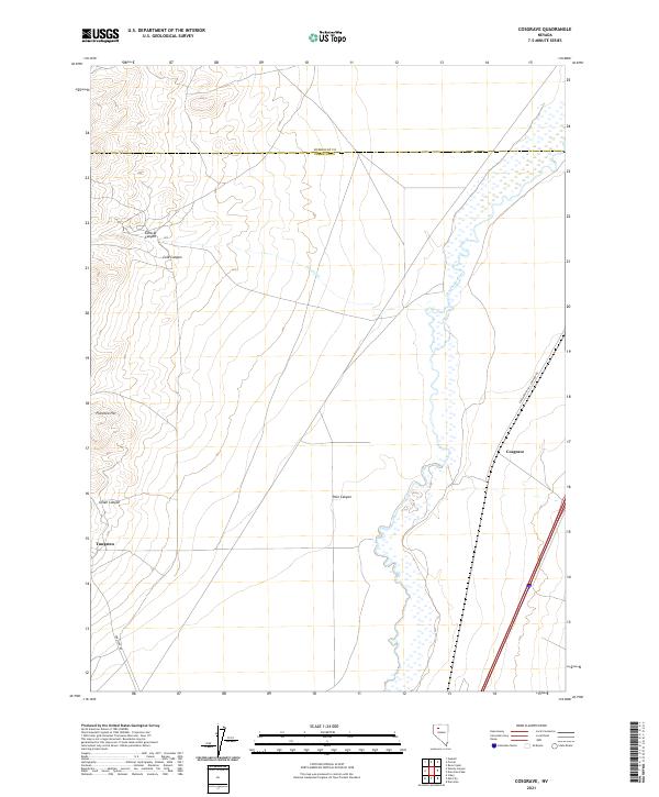
2021 Map of Cosgrave
USGS Topo · Published 2021About this map
The Humboldt River carves a marshy path through this high desert landscape, defining the topography between the Humboldt and Pershing county line. The corridor is shared by the Southern Pacific Company RR, which runs parallel to the river's eastern banks. This transport network serves the small settlements of Cosgrave and Tungsten, the latter situated near the terminus of Tungston Rd at the base of the surrounding hills.
Find a feature on this map
19 named features on this map. Tap any name to fly to it.
Don’t see what you’re looking for? This feature index may not catch every label — zoom into the map to look around manually.
Map Details
Editions of this 2021 Cosgrave Map
This is the sole edition of this map. No revisions or reprints were ever made.
Other maps of this area

1931 · Lovelock
USGS Topo · 1:250,000

1932 · Sonoma Range
USGS Topo · 1:250,000

1935 · Lovelock
USGS Topo · 1:250,000

1939 · Sonoma Range
USGS Topo · 1:250,000

1939 · Eugene Mountains Area
USGS Topo · 1:62,500

1942 · Eugene Mountains Area
USGS Topo · 1:62,500

1955 · Lovelock
USGS Topo · 1:250,000

1955 · Winnemucca
USGS Topo · 1:250,000

1956 · Imlay
USGS Topo · 1:62,500

1958 · Winnemucca
USGS Topo · 1:250,000