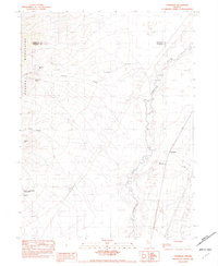
1982 Map of Cosgrave
USGS Topo · Published 1982About this map
The Eugene Mountains dominate the western half of this 1982 provisional sheet, where industrial mining activity defines the landscape. Near the base of the range, the massive Nevada-Massachusetts Tungsten Mine and its associated Tailings are shown just south of the settlement of Tungsten. Further north, the Keystone Mine and Mahogany Spring mark the interior canyons of the mountains, suggesting a long history of resource extraction in this corner of the Great Basin.
Find a feature on this map
19 named features on this map. Tap any name to fly to it.
Don’t see what you’re looking for? This feature index may not catch every label — zoom into the map to look around manually.
Map Details
Editions of this 1982 Cosgrave Map
This is the sole edition of this map. No revisions or reprints were ever made.
Other maps of this area

1931 · Lovelock
USGS Topo · 1:250,000

1932 · Sonoma Range
USGS Topo · 1:250,000

1935 · Lovelock
USGS Topo · 1:250,000

1939 · Sonoma Range
USGS Topo · 1:250,000

1939 · Eugene Mountains Area
USGS Topo · 1:62,500

1942 · Eugene Mountains Area
USGS Topo · 1:62,500

1955 · Lovelock
USGS Topo · 1:250,000

1955 · Winnemucca
USGS Topo · 1:250,000

1956 · Imlay
USGS Topo · 1:62,500

1958 · Winnemucca
USGS Topo · 1:250,000