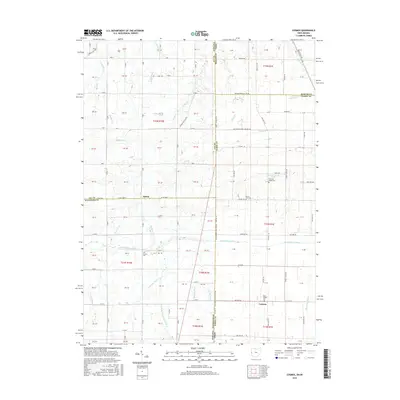
2016 Map of Cosmos
USGS Topo · Published 2016About this map
Ohio-Indiana State Line Rd serves as the central spine of this landscape, marking the boundary between Jay and Randolph Counties in Indiana and Mercer and Darke Counties in Ohio. The terrain is a complex hydrological network where the headwaters of several major systems originate. The Mississinewa River flows westward through the center, while the northern reaches contribute to the Wabash River and Salamonie River. To the southeast, the drainage shifts toward the Stillwater River.
Find a feature on this map
138 named features on this map. Tap any name to fly to it.
Don’t see what you’re looking for? This feature index may not catch every label — zoom into the map to look around manually.
Map Details
Editions of this 2016 Cosmos Map
This is the sole edition of this map. No revisions or reprints were ever made.
Other maps of this area

1908 · St. Henry
USGS Topo · 1:62,500

1915 · Fort Recovery
USGS Topo · 1:48,000

1916 · Winchester
USGS Topo · 1:48,000

1918 · Winchester
USGS Topo · 1:62,500

1918 · Fort Recovery
USGS Topo · 1:62,500

1943 · Winchester
USGS Topo · 1:62,500

1953 · Muncie
USGS Topo · 1:250,000

1956 · Muncie
USGS Topo · 1:250,000

1960 · Union City
USGS Topo · 1:24,000

1960 · Fort Recovery
USGS Topo · 1:24,000