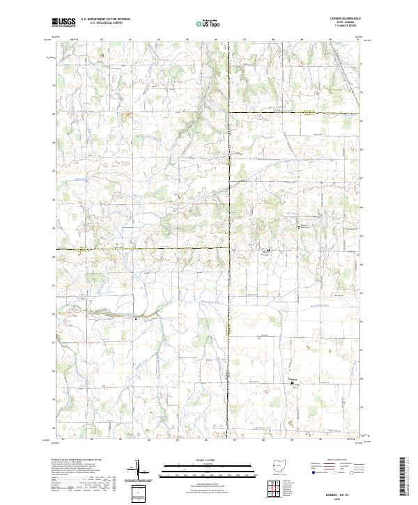
2023 Map of Cosmos
USGS Topo · Published 2023About this map
The Ohio Indiana State Line Rd serves as the central axis for this agricultural landscape, where the headwaters of several major regional river systems converge. In this corner of Darke County and Jay County, the Salamonie River, the Wabash River, and the Mississinewa River all find their beginnings as modest streams and engineered drainage channels like Sheffer Ditch and Gettinger Ditch. This intricate network of waterways reflects the intensive drainage required to transform the wet prairies of the borderlands into productive farmland.
Find a feature on this map
96 named features on this map. Tap any name to fly to it.
Don’t see what you’re looking for? This feature index may not catch every label — zoom into the map to look around manually.
Map Details
Editions of this 2023 Cosmos Map
This is the sole edition of this map. No revisions or reprints were ever made.
Other maps of this area

1908 · St. Henry
USGS Topo · 1:62,500

1915 · Fort Recovery
USGS Topo · 1:48,000

1916 · Winchester
USGS Topo · 1:48,000

1918 · Winchester
USGS Topo · 1:62,500

1918 · Fort Recovery
USGS Topo · 1:62,500

1943 · Winchester
USGS Topo · 1:62,500

1953 · Muncie
USGS Topo · 1:250,000

1956 · Muncie
USGS Topo · 1:250,000

1960 · Union City
USGS Topo · 1:24,000

1960 · Fort Recovery
USGS Topo · 1:24,000