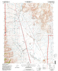
1994 Map of Coso Junction
USGS Topo · Published 1997About this map
Rose Valley serves as a critical infrastructure corridor in this 1994 revision, dominated by the winding path of the Los Angeles Aqueduct. This engineering marvel is supported by a series of Gaging Stations, a Power House, and a Radio Facility Surge Tank, illustrating the complex water management system required to move resources through the arid California landscape. The settlement pattern is sparse but distinct, featuring small hubs like Coso Junction, Dunmovin, and Rose Spring clustered along the valley floor near the primary transport artery.
Find a feature on this map
46 named features on this map. Tap any name to fly to it.
Don’t see what you’re looking for? This feature index may not catch every label — zoom into the map to look around manually.
Map Details
Editions of this 1994 Coso Junction Map
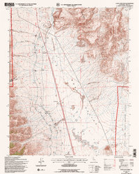
2 editions found
Other maps of this area

1905 · Olancha
USGS Topo · 1:125,000

1906 · Kernville
USGS Topo · 1:125,000

1907 · Olancha
USGS Topo · 1:125,000

1908 · Kernville
USGS Topo · 1:125,000

1908 · Ballarat
USGS Topo · 1:250,000

1913 · Ballarat
USGS Topo · 1:250,000

1915 · Searles Lake
USGS Topo · 1:250,000

1947 · Trona
USGS Topo · 1:250,000

1948 · Trona
USGS Topo · 1:250,000

1948 · Death Valley
USGS Topo · 1:250,000