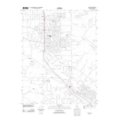
2012 Map of Cotati
USGS Topo · Published 2012About this map
Rohnert Park and Cotati serve as the primary anchors of this Sonoma County landscape, illustrating a suburban-and-rural mix just north of Petaluma. The geography is defined by the headwaters of the Petaluma River and the meandering path of the Laguna de Santa Rosa, which drains toward the north. To the east, the terrain rises into Crane Canyon and Meacham Hill, creating a natural boundary for the development expanding from the US-101 corridor.
Find a feature on this map
164 named features on this map. Tap any name to fly to it.
Don’t see what you’re looking for? This feature index may not catch every label — zoom into the map to look around manually.
Map Details
Editions of this 2012 Cotati Map
This is the sole edition of this map. No revisions or reprints were ever made.
Other maps of this area

1914 · Petaluma
USGS Topo · 1:62,500

1916 · Santa Rosa
USGS Topo · 1:62,500

1916 · Point Reyes
USGS Topo · 1:48,000

1918 · Point Reyes
USGS Topo · 1:62,500

1935 · Sebastopol
USGS Topo · 1:48,000

1942 · Sebastopol
USGS Topo · 1:62,500

1942 · Petaluma
USGS Topo · 1:62,500

1944 · Santa Rosa
USGS Topo · 1:62,500

1947 · Santa Rosa
USGS Topo · 1:250,000

1949 · Santa Rosa
USGS Topo · 1:250,000