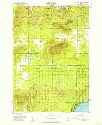
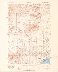
1950 Map of Cote Dame Marie
USGS Topo · Published 1953About this map
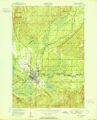
Camp Grayling Military Reservation dominates the northern half of this Crawford County landscape, where the Three Sisters Range and Cote Dame Marie rise above the surrounding terrain. This mid-century survey reveals a transition between military training grounds and conservation efforts, evidenced by the Higgins Lake State Nursery and the expansive Higgins Lake State Forest. The map documents a sparsely populated area defined by specific landmarks like the Beaver Creek Sch and Beaver Creek Cem, while small oil extraction points appear along Fletcher Road. To the south, the shoreline of Higgins Lake features the seasonal Tent City and American Legion Park, reflecting the region's mid-century role as a center for both state forest management and public recreation.
Find a feature on this map
40 named features on this map. Tap any name to fly to it.
Don’t see what you’re looking for? This feature index may not catch every label — zoom into the map to look around manually.
Map Details
Editions of this 1950 Cote Dame Marie Map
4 editions found
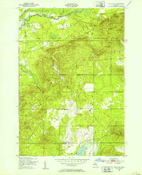
Other maps of this area
1949 · Black Creek
USGS Topo · 1:24,000

1949 · Fletcher
USGS Topo · 1:62,500

1949 · Grayling
USGS Topo · 1:62,500
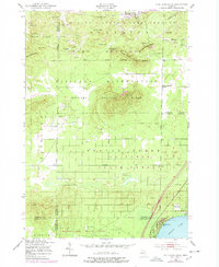
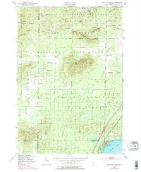
1950 · Cote Dame Marie
USGS Topo · 1:24,000
1950 · Fletcher
USGS Topo · 1:24,000
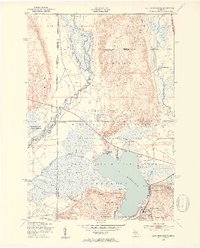
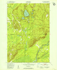
1950 · Lake Margrethe
USGS Topo · 1:24,000
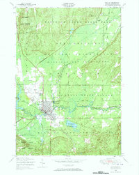
1950 · Grayling
USGS Topo · 1:24,000
1951 · Grayling
USGS Topo · 1:24,000
1951 · Pere Cheney
USGS Topo · 1:24,000

1954 · Traverse City
USGS Topo · 1:250,000
Featured Places
- Norwich Township, MI
- Beaver Creek Township, MI
- Bear Lake Township, MI
- Grayling Charter Township, MI
- Tent City, Lyon Township