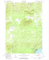
1950 Map of Cote Dame Marie
USGS Topo · Published 1978About this map
Camp Grayling Military Reservation dominates this northern Michigan landscape at the intersection of Kalkaska, Crawford, Roscommon, and Missaukee counties. The area is defined by a dense network of conservation and training grounds, including the Hanson State Game Refuge and multiple state forest tracts like Garfield State Forest. The map captures a transition from the elevated peaks of Cote Dame Marie and the Three Sisters Range in the north to the lowlands surrounding Higgins Lake in the southeast.
Find a feature on this map
41 named features on this map. Tap any name to fly to it.
Don’t see what you’re looking for? This feature index may not catch every label — zoom into the map to look around manually.
Map Details
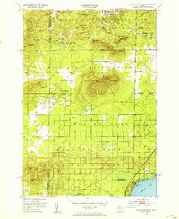
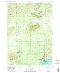
Editions of this 1950 Cote Dame Marie Map
4 editions found
Other maps of this area

1949 · Black Creek
USGS Topo · 1:24,000

1949 · Fletcher
USGS Topo · 1:62,500

1949 · Grayling
USGS Topo · 1:62,500

1950 · Cote Dame Marie
USGS Topo · 1:24,000

1950 · Fletcher
USGS Topo · 1:24,000

1950 · Lake Margrethe
USGS Topo · 1:24,000

1950 · Grayling
USGS Topo · 1:24,000

1951 · Grayling
USGS Topo · 1:24,000

1951 · Pere Cheney
USGS Topo · 1:24,000

1954 · Traverse City
USGS Topo · 1:250,000
Featured Places
- Norwich Township, MI
- Beaver Creek Township, MI
- Bear Lake Township, MI
- Grayling Charter Township, MI
- Tent City, MI