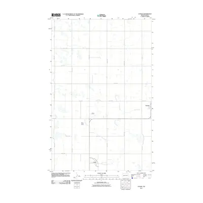
2011 Map of Coteau
USGS Topo · Published 2011About this map
Coteau and the surrounding Burke County plains are defined by the grid of rural section roads and the meandering path of Stony Creek as it winds toward the east. This northern North Dakota landscape in 2011 remains deeply tied to its agricultural roots, with small settlements like Bowbells and Coteau anchoring the local geography. Significant landmarks for local history include the Danish Cemetery, located north of the creek, and the Melby Private Airstrip. The drainage patterns of the region are marked by Shockley Slough, which collects water in the low-lying prairie depressions typical of this part of the state. The town plan for Coteau is clearly delineated with streets such as Washington St, Jefferson St, and Main Ave, providing a detailed view of the community's structural layout during the early 21st century.
Find a feature on this map
18 named features on this map. Tap any name to fly to it.
Don’t see what you’re looking for? This feature index may not catch every label — zoom into the map to look around manually.
Map Details
Editions of this 2011 Coteau Map
This is the sole edition of this map. No revisions or reprints were ever made.
Other maps of this area

1947 · Bowbells NW
USGS Topo · 1:24,000

1947 · Flaxton
USGS Topo · 1:24,000

1947 · Bowbells
USGS Topo · 1:24,000

1948 · Flaxton
USGS Topo · 1:24,000

1948 · Coteau
USGS Topo · 1:24,000

1948 · Woburn
USGS Topo · 1:24,000

1948 · Vanville NE
USGS Topo · 1:24,000

1949 · Bowbells
USGS Topo · 1:24,000

1949 · Bowbells NW
USGS Topo · 1:24,000

1949 · Niobe
USGS Topo · 1:24,000