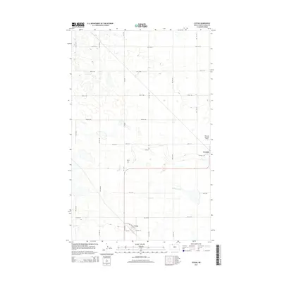
2014 Map of Coteau
USGS Topo · Published 2014About this map
Bowbells and Coteau anchor this survey of the northern prairie in Burke County, where the landscape is defined by the high, rolling terrain of the Missouri Coteau. The map reveals a highly structured grid of section-line roads, including 74th Ave NW and 98th St NW, which facilitate the region's agricultural economy. Cultural and infrastructure landmarks are concentrated near the settlements, with the Danish Cem located just north of the Cr-8 corridor. To the east, the Bowbells Municipal Airport sits near the town center. The natural hydrology is characterized by numerous small prairie potholes and larger features like Shockley Slough and the winding course of Stony Cr, which provide essential drainage for this glaciated upland region.
Find a feature on this map
25 named features on this map. Tap any name to fly to it.
Don’t see what you’re looking for? This feature index may not catch every label — zoom into the map to look around manually.
Map Details
Editions of this 2014 Coteau Map
This is the sole edition of this map. No revisions or reprints were ever made.
Other maps of this area

1947 · Bowbells NW
USGS Topo · 1:24,000

1947 · Flaxton
USGS Topo · 1:24,000

1947 · Bowbells
USGS Topo · 1:24,000

1948 · Flaxton
USGS Topo · 1:24,000

1948 · Coteau
USGS Topo · 1:24,000

1948 · Woburn
USGS Topo · 1:24,000

1948 · Vanville NE
USGS Topo · 1:24,000

1949 · Bowbells
USGS Topo · 1:24,000

1949 · Bowbells NW
USGS Topo · 1:24,000

1949 · Niobe
USGS Topo · 1:24,000