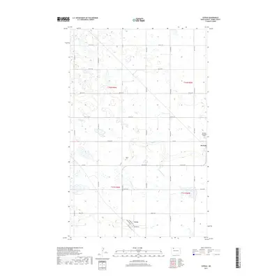
2017 Map of Coteau
USGS Topo · Published 2017About this map
Coteau and the western edge of Bowbells anchor this northern North Dakota landscape, where the prairie is defined by a complex network of wetlands and seasonal drainages. The small settlement of Coteau is clearly mapped with its local streets, including Washington St, Jefferson St, and Erickson St, situated along the section lines that organize the surrounding farmland. The presence of the Danish Cem provides a specific point of interest for genealogists tracing Scandinavian heritage in Burke County, while the Bowbells Municipal Airport marks the modern utility of the land.
Find a feature on this map
30 named features on this map. Tap any name to fly to it.
Don’t see what you’re looking for? This feature index may not catch every label — zoom into the map to look around manually.
Map Details
Editions of this 2017 Coteau Map
This is the sole edition of this map. No revisions or reprints were ever made.
Other maps of this area

1947 · Bowbells NW
USGS Topo · 1:24,000

1947 · Flaxton
USGS Topo · 1:24,000

1947 · Bowbells
USGS Topo · 1:24,000

1948 · Flaxton
USGS Topo · 1:24,000

1948 · Coteau
USGS Topo · 1:24,000

1948 · Woburn
USGS Topo · 1:24,000

1948 · Vanville NE
USGS Topo · 1:24,000

1949 · Bowbells
USGS Topo · 1:24,000

1949 · Bowbells NW
USGS Topo · 1:24,000

1949 · Niobe
USGS Topo · 1:24,000