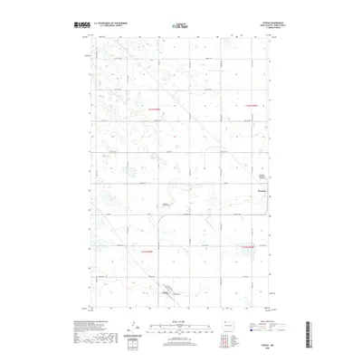
2020 Map of Coteau
USGS Topo · Published 2020About this map
Coteau and Bowbells anchor this portion of Burke County, where the landscape is defined by the prairie potholes and terminal moraines of the Missouri Coteau. This survey captures the rural layout of the region, emphasizing the grid-like township and range system that organizes the North Dakota plains. Evidence of the area's spiritual and community life is marked at Bethlehem Lutheran Cem, while the inclusion of the Bowbells Municipal Airport and street names such as Washington St and Jefferson St in Coteau reflect the local infrastructure and planned settlement patterns. Natural drainages like Stony Cr and the waters of Shockley Slough break the geometric road network of 72nd Ave NW and Co Rd 8, showing the persistent influence of the glacial terrain on modern land use.
Find a feature on this map
29 named features on this map. Tap any name to fly to it.
Don’t see what you’re looking for? This feature index may not catch every label — zoom into the map to look around manually.
Map Details
Editions of this 2020 Coteau Map
This is the sole edition of this map. No revisions or reprints were ever made.
Other maps of this area

1947 · Bowbells NW
USGS Topo · 1:24,000

1947 · Flaxton
USGS Topo · 1:24,000

1947 · Bowbells
USGS Topo · 1:24,000

1948 · Flaxton
USGS Topo · 1:24,000

1948 · Coteau
USGS Topo · 1:24,000

1948 · Woburn
USGS Topo · 1:24,000

1948 · Vanville NE
USGS Topo · 1:24,000

1949 · Bowbells
USGS Topo · 1:24,000

1949 · Bowbells NW
USGS Topo · 1:24,000

1949 · Niobe
USGS Topo · 1:24,000