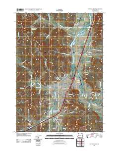
2011 Map of Cottage Grove
USGS Topo · Published 2011About this map
Cottage Grove serves as the central hub of this Lane County landscape, where the Coast Fork Willamette River and its many tributaries, including Silk Creek and Row River, converge. The map documents a blend of municipal development and industrial history, notably marked by the W A Woodward Lumber Company Log Pond at Latham. This site, along with the nearby Cottage Grove State Airport and the Cottage Grove Post Office, illustrates the infrastructure supporting the local timber economy and community life.
Find a feature on this map
99 named features on this map. Tap any name to fly to it.
Don’t see what you’re looking for? This feature index may not catch every label — zoom into the map to look around manually.
Map Details
Editions of this 2011 Cottage Grove Map
This is the sole edition of this map. No revisions or reprints were ever made.
Other maps of this area

1921 · Cottage Grove
USGS Topo · 1:62,500

1935 · Lowell
USGS Topo · 1:96,000

1942 · Lowell
USGS Topo · 1:125,000

1954 · Anlauf
USGS Topo · 1:62,500

1955 · Culp Creek
USGS Topo · 1:62,500

1955 · Lowell
USGS Topo · 1:62,500
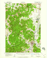
1957 · Cottage Grove
USGS Topo · 1:62,500

1958 · Roseburg
USGS Topo · 1:250,000

1959 · Roseburg
USGS Topo · 1:250,000

1979 · Cottage Grove
USGS Topo · 1:100,000