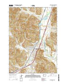
2014 Map of Cottage Grove
USGS Topo · Published 2014About this map
Cottage Grove serves as the focal point of this Lane County landscape, situated at the confluence of the Coast Fork Willamette River and Row River. The town's layout is documented with precision, from the industrial W A Woodward Lumber Company Log Pond at Latham to the residential streets such as W Main St and Ash Ave. The geography is defined by a series of valley drainages including Silk Cr and Gettings Cr, bordered by prominent heights like McFarland Butte and Taylor Butte. Local history is deeply embedded in the land through several established burial grounds, including the Walker Union Church Cem and Shields Cem. Transportation infrastructure is a dominant theme, featuring the corridor of Or-99 alongside smaller rural landmarks like the Mary White Bridge and the Cottage Grove State Airport.
Find a feature on this map
137 named features on this map. Tap any name to fly to it.
Don’t see what you’re looking for? This feature index may not catch every label — zoom into the map to look around manually.
Map Details
Editions of this 2014 Cottage Grove Map
This is the sole edition of this map. No revisions or reprints were ever made.
Other maps of this area

1921 · Cottage Grove
USGS Topo · 1:62,500

1935 · Lowell
USGS Topo · 1:96,000

1942 · Lowell
USGS Topo · 1:125,000

1954 · Anlauf
USGS Topo · 1:62,500

1955 · Culp Creek
USGS Topo · 1:62,500

1955 · Lowell
USGS Topo · 1:62,500
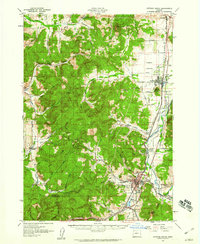
1957 · Cottage Grove
USGS Topo · 1:62,500

1958 · Roseburg
USGS Topo · 1:250,000

1959 · Roseburg
USGS Topo · 1:250,000

1979 · Cottage Grove
USGS Topo · 1:100,000