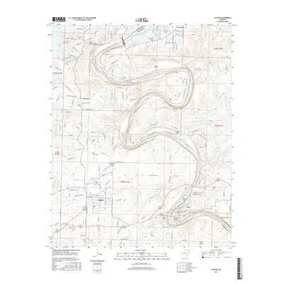
2017 Map of Cotter
USGS Topo · Published 2017About this map
The White River carves a massive, serpentine path through this portion of Marion County, defining the local geography as it winds around Cane Island and Bayless Island. This area, heavily influenced by the presence of Bull Shoals Lake to the north, shows a landscape of deep river bends and significant elevation changes near Bull Shoals Mtn and Long Hill. The settlements of Flippin and Cotter anchor the southern half of the map, connected by a network of roads that follow the ridges and valleys of the Ozark Plateau.
Find a feature on this map
104 named features on this map. Tap any name to fly to it.
Don’t see what you’re looking for? This feature index may not catch every label — zoom into the map to look around manually.
Map Details
Editions of this 2017 Cotter Map
This is the sole edition of this map. No revisions or reprints were ever made.
Other maps of this area

1890 · Mountain Home
USGS Topo · 1:125,000

1891 · Mountain Home
USGS Topo · 1:125,000

1893 · Yellville
USGS Topo · 1:125,000

1894 · Mountain Home
USGS Topo · 1:125,000

1903 · Yellville
USGS Topo · 1:125,000

1905 · Yellville
USGS Topo · 1:125,000

1929 · Yellville
USGS Topo · 1:125,000

1945 · Harrison
USGS Topo · 1:250,000

1949 · Harrison
USGS Topo · 1:250,000

1954 · Harrison
USGS Topo · 1:250,000