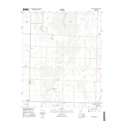
2017 Map of Cotton Plant
USGS Topo · Published 2017About this map
Cotton Plant stands as the primary hub of this eastern Arkansas landscape, where the town street grid meets the agricultural reaches of Woodruff Co. The terrain is defined by the winding course of the Cache River and its accompanying wetlands, including Gum Flat Bayou and Roaring Slough. These water systems create a complex natural drainage pattern that has historically shaped local land use and the placement of small communities.
Find a feature on this map
49 named features on this map. Tap any name to fly to it.
Don’t see what you’re looking for? This feature index may not catch every label — zoom into the map to look around manually.
Map Details
Editions of this 2017 Cotton Plant Map
This is the sole edition of this map. No revisions or reprints were ever made.
Other maps of this area

1935 · Gregory
USGS Topo · 1:62,500

1939 · Hunter
USGS Topo · 1:62,500

1940 · Brinkley
USGS Topo · 1:62,500

1941 · De Valls Bluff
USGS Topo · 1:62,500

1948 · Helena
USGS Topo · 1:250,000

1950 · Helena
USGS Topo · 1:250,000

1953 · Memphis
USGS Topo · 1:250,000

1955 · Helena
USGS Topo · 1:250,000

1956 · Memphis
USGS Topo · 1:250,000

1956 · Hunter
USGS Topo · 1:62,500