Loading...
Loading map...2024 Map of Cotton Plant
USGS Topo · Published 2024About this map
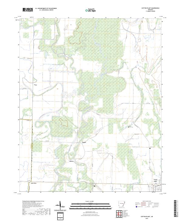
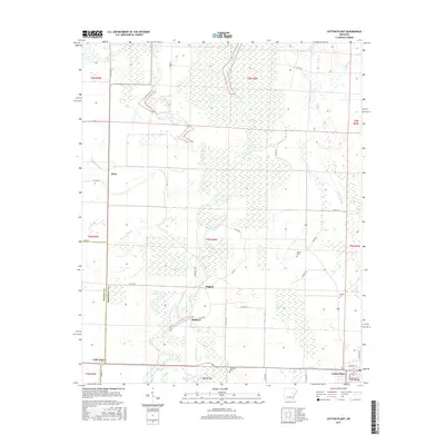
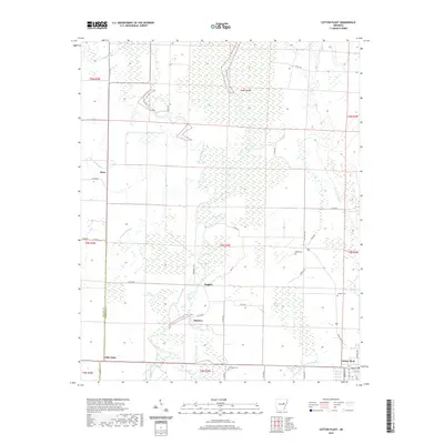
Cotton Plant anchors the southeastern corner of this landscape, where the flatlands of the Arkansas Delta meet a complex network of waterways. The area is defined by the expansive Cache River National Wildlife Refuge, which protects the meandering path of the Cache River and its associated wetlands. Smaller settlements like Maberry, Daggett, and Little Dixie are interspersed among a grid of county roads, reflecting a long-standing agricultural and rural residential pattern.
Find a feature on this map
52 named features on this map. Tap any name to fly to it.
Don’t see what you’re looking for? This feature index may not catch every label — zoom into the map to look around manually.
Map Details
Date Portrayed2024
Date Published2024
PublisherU.S. Geological Survey
Map TypeTopographic
Scale1:24,000
Physical Dimensions24 x 29 inches
Editions of this 2024 Cotton Plant Map
This is the sole edition of this map. No revisions or reprints were ever made.
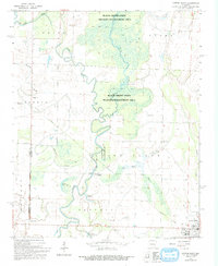
Historical Maps of Cotton Plant Through Time
6 maps found
Featured Locations
Source Details
SourceU.S. Geological Survey
CopyrightPublic Domain