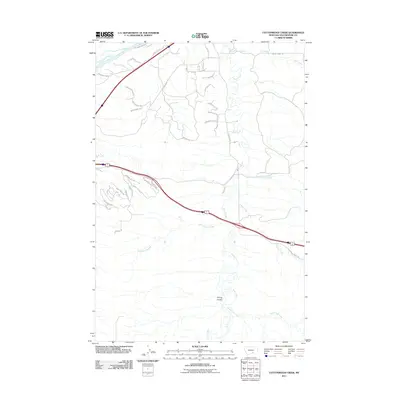
2011 Map of Cottonwood Creek
USGS Topo · Published 2011About this map
The Yellowstone River flows along the northern edge of this Yellowstone County landscape, where the terrain breaks away into a network of drainages and coulees. The interior of the sheet is dominated by the winding paths of Pryor Creek and Cottonwood Creek, which have carved deep valleys into the high plains. This 2011 survey captures a residential expansion characterized by evocative road names such as Yellowstone Trl, Boot Hill Rd, and White Buffalo Rd, reflecting a modern subdivision layout that follows the natural contours of the land.
Find a feature on this map
41 named features on this map. Tap any name to fly to it.
Don’t see what you’re looking for? This feature index may not catch every label — zoom into the map to look around manually.
Map Details
Editions of this 2011 Cottonwood Creek Map
This is the sole edition of this map. No revisions or reprints were ever made.
Other maps of this area

1893 · Huntley
USGS Topo · 1:125,000

1954 · Billings
USGS Topo · 1:250,000

1956 · Rattlesnake Butte
USGS Topo · 1:24,000

1956 · Huntley
USGS Topo · 1:24,000

1956 · Billings East
USGS Topo · 1:24,000

1957 · Billings
USGS Topo · 1:250,000

1958 · Billings
USGS Topo · 1:250,000

1967 · Worden
USGS Topo · 1:24,000

1967 · Soda Springs NW
USGS Topo · 1:24,000

1967 · Cottonwood Creek
USGS Topo · 1:24,000