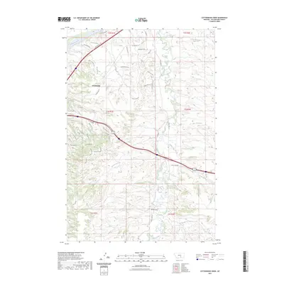
2023 Map of Cottonwood Creek
USGS Topo · Published 2023About this map
Yellowstone River flows across the northern edge of this landscape, anchoring the geographic orientation of the region just east of the Billings metropolitan area. The settlement of Lockwood occupies the Northwest corner, representing a significant residential and industrial hub within Yellowstone County. The map details the transition from the river valley into the broken terrain and drainages that define this portion of the Montana plains. The presence of major transportation corridors intersecting near the river highlights the area's importance as a gateway for commerce and travel through the valley. This 2023 survey serves as a precise record of contemporary land use, infrastructure, and water systems in a rapidly growing part of the state.
Find a feature on this map
2 named features on this map. Tap any name to fly to it.
Don’t see what you’re looking for? This feature index may not catch every label — zoom into the map to look around manually.
Map Details
Editions of this 2023 Cottonwood Creek Map
This is the sole edition of this map. No revisions or reprints were ever made.
Other maps of this area

1893 · Huntley
USGS Topo · 1:125,000

1954 · Billings
USGS Topo · 1:250,000

1956 · Rattlesnake Butte
USGS Topo · 1:24,000

1956 · Huntley
USGS Topo · 1:24,000

1956 · Billings East
USGS Topo · 1:24,000

1957 · Billings
USGS Topo · 1:250,000

1958 · Billings
USGS Topo · 1:250,000

1967 · Worden
USGS Topo · 1:24,000

1967 · Soda Springs NW
USGS Topo · 1:24,000

1967 · Cottonwood Creek
USGS Topo · 1:24,000