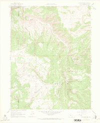
1961 Map of Cottonwood Pass
USGS Topo · Published 1968About this map
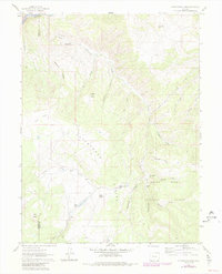
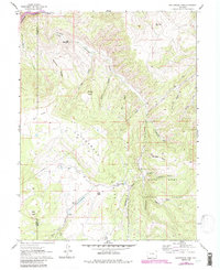
White River National Forest defines the rugged high-elevation terrain of this 1961 field-checked survey along the Garfield and Eagle County line. The landscape is carved by a complex network of drainages including Spruce Creek, Cottonwood Creek, and East Coulter Creek, which feed into the Colorado River in the northwest. Distinctive landmarks like The Eagle Nest, Gobbler Knob, and Buck Point overlook the transition between timbered slopes and open areas such as Dock Flats. Human activity in the early 1960s is evidenced by a scattered infrastructure of jeep trails, telephone lines, and the Van Springs Reservoir. This map reveals the specialized geography of the era's backcountry, where named locations like Slaughter Spring and various Beaver Ponds served as vital points of reference for ranching and forest management before modern development.
Find a feature on this map
28 named features on this map. Tap any name to fly to it.
Don’t see what you’re looking for? This feature index may not catch every label — zoom into the map to look around manually.
Map Details
Editions of this 1961 Cottonwood Pass Map
7 editions found
Other maps of this area

1909 · Mount Jackson
USGS Topo · 1:125,000

1911 · Mount Jackson
USGS Topo · 1:125,000

1927 · Glenwood Springs
USGS Topo · 1:125,000

1930 · Glenwood Springs
USGS Topo · 1:125,000

1957 · Leadville
USGS Topo · 1:250,000

1959 · Leadville
USGS Topo · 1:250,000

1960 · Leadville
USGS Topo · 1:250,000

1961 · Carbondale
USGS Topo · 1:24,000

1961 · Leon
USGS Topo · 1:24,000

1961 · Cottonwood Pass
USGS Topo · 1:24,000