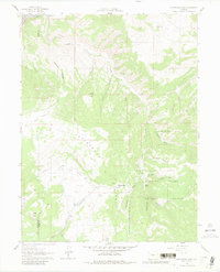
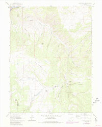
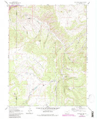
1961 Map of Cottonwood Pass
USGS Topo · Published 1980About this map
Cottonwood Divide forms the primary topographical spine of this high-altitude region, where the terrain transitions between the Colorado River drainage to the north and the deep timber of the White River National Forest. The landscape is defined by its complex drainage network, characterized by numerous gulches and creeks such as Slaughter Gulch and East Coulter Creek. A series of survey markers, including Cottonwood Pass and VABM Thomas, trace the high ridges and peaks.
Find a feature on this map
36 named features on this map. Tap any name to fly to it.
Don’t see what you’re looking for? This feature index may not catch every label — zoom into the map to look around manually.
Map Details
Editions of this 1961 Cottonwood Pass Map
7 editions found
Other maps of this area

1909 · Mount Jackson
USGS Topo · 1:125,000

1911 · Mount Jackson
USGS Topo · 1:125,000

1927 · Glenwood Springs
USGS Topo · 1:125,000

1930 · Glenwood Springs
USGS Topo · 1:125,000

1957 · Leadville
USGS Topo · 1:250,000

1959 · Leadville
USGS Topo · 1:250,000

1960 · Leadville
USGS Topo · 1:250,000

1961 · Carbondale
USGS Topo · 1:24,000

1961 · Leon
USGS Topo · 1:24,000

1961 · Cottonwood Pass
USGS Topo · 1:24,000