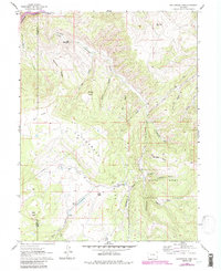
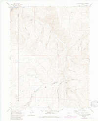
1961 Map of Cottonwood Pass
USGS Topo · Published 1988About this map
White River National Forest dominates the high-country landscape in this 1960s study of the Cottonwood Divide. The terrain is defined by a series of steep drainages including Fry Gulch, Brewster Gulch, and Slaughter Gulch, which cut through the high ridges separating the Colorado River from the interior basin. The D & R G W railroad tracks hug the riverbank in the northwest corner, marking a vital transit corridor through the Garfield and Eagle county line.
Find a feature on this map
32 named features on this map. Tap any name to fly to it.
Don’t see what you’re looking for? This feature index may not catch every label — zoom into the map to look around manually.
Map Details
Editions of this 1961 Cottonwood Pass Map
7 editions found
Other maps of this area

1909 · Mount Jackson
USGS Topo · 1:125,000

1911 · Mount Jackson
USGS Topo · 1:125,000

1927 · Glenwood Springs
USGS Topo · 1:125,000

1930 · Glenwood Springs
USGS Topo · 1:125,000

1957 · Leadville
USGS Topo · 1:250,000

1959 · Leadville
USGS Topo · 1:250,000

1960 · Leadville
USGS Topo · 1:250,000

1961 · Carbondale
USGS Topo · 1:24,000

1961 · Leon
USGS Topo · 1:24,000

1961 · Cottonwood Pass
USGS Topo · 1:24,000