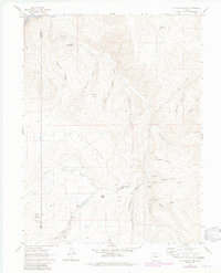
1961 Map of Cottonwood Pass
USGS Topo · Published 1984About this map
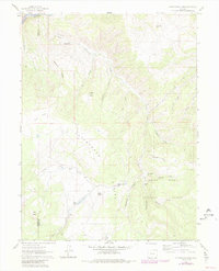
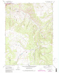
White River National Forest defines the southern and eastern reaches of this high-elevation quadrangle, where the Divide carves a natural barrier through the heart of the landscape. The Colorado River flows through the northern edge, paralleled by the tracks of the D & R G W railroad. This 1961 survey, later updated with photorevisions, reveals a network of water and terrain names essential for local research, from the Beaver Ponds near Slaughter Gulch to the livestock and wildlife significance implied by names like Gobbler Knob and The Eagle Nest. High points like Cottonwood Pass and Buck Point anchor the survey, while a series of gulches including Sawmill Gulch and Fitzpatrick Gulch suggest early resource extraction and land use. For genealogists and historians, the precise delineation of the Garfield Co and Eagle Co boundary provides a clear record of administrative lines in this montane environment.
Find a feature on this map
37 named features on this map. Tap any name to fly to it.
Don’t see what you’re looking for? This feature index may not catch every label — zoom into the map to look around manually.
Map Details
Editions of this 1961 Cottonwood Pass Map
7 editions found
Other maps of this area

1909 · Mount Jackson
USGS Topo · 1:125,000

1911 · Mount Jackson
USGS Topo · 1:125,000

1927 · Glenwood Springs
USGS Topo · 1:125,000

1930 · Glenwood Springs
USGS Topo · 1:125,000

1957 · Leadville
USGS Topo · 1:250,000

1959 · Leadville
USGS Topo · 1:250,000

1960 · Leadville
USGS Topo · 1:250,000

1961 · Carbondale
USGS Topo · 1:24,000

1961 · Leon
USGS Topo · 1:24,000

1961 · Cottonwood Pass
USGS Topo · 1:24,000