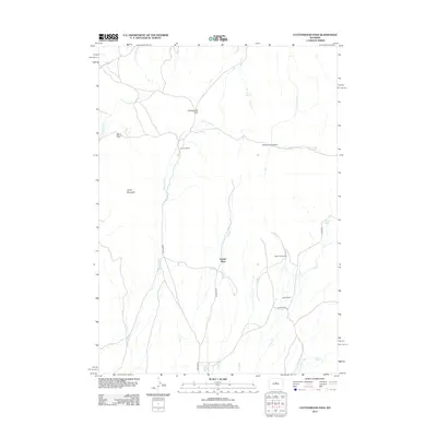
2012 Map of Cottonwood Pass
USGS Topo · Published 2012About this map
Snyder Place and several family-named outposts occupy this high-elevation landscape in Fremont County, where drainage networks like Snyder Cr and Cottonwood Cr carve through the terrain. The map depicts a traditional Western ranching economy, marked by established holdings such as Nichols Ranch, Britain Ranch, and the McWilliams Homestead. These sites are linked by rugged thoroughfares like the Bighorn Trl and Oakie Trl, which navigate the gaps between Lysite Mountain and Davis Pass.
Find a feature on this map
23 named features on this map. Tap any name to fly to it.
Don’t see what you’re looking for? This feature index may not catch every label — zoom into the map to look around manually.
Map Details
Editions of this 2012 Cottonwood Pass Map
This is the sole edition of this map. No revisions or reprints were ever made.
Other maps of this area

1952 · Cottonwood Pass
USGS Topo · 1:24,000

1952 · Badwater
USGS Topo · 1:24,000

1952 · Lysite
USGS Topo · 1:24,000

1952 · Lysite SE
USGS Topo · 1:24,000

1952 · Sioux Pass
USGS Topo · 1:24,000

1952 · Arapahoe Butte
USGS Topo · 1:24,000

1952 · Battle Mountain
USGS Topo · 1:24,000

1952 · Bull Mountain
USGS Topo · 1:24,000

1955 · Arminto
USGS Topo · 1:250,000

1958 · Arminto
USGS Topo · 1:250,000