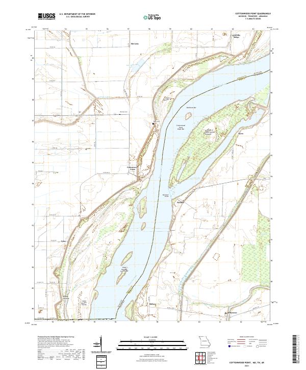
2021 Map of Cottonwood Point
USGS Topo · Published 2021About this map
The Mississippi River defines this landscape where Missouri and Tennessee meet, creating a complex network of shifting banks and river-formed landmarks. Along the western bank in Pemiscot County, the small settlement of Cottonwood Point sits near the state line, positioned on a bend that has historically been susceptible to the river's whims, as evidenced by the nearby Midway Crevasse. The terrain is marked by remnants of former river channels like Half-Moon Lake and Half Moon Bayou, which reflect the delta's evolving hydrology.
Find a feature on this map
51 named features on this map. Tap any name to fly to it.
Don’t see what you’re looking for? This feature index may not catch every label — zoom into the map to look around manually.
Map Details
Editions of this 2021 Cottonwood Point Map
This is the sole edition of this map. No revisions or reprints were ever made.
Other maps of this area

1939 · Hales Point
USGS Topo · 1:62,500

1939 · Caruthersville
USGS Topo · 1:62,500

1939 · Blytheville
USGS Topo · 1:62,500

1940 · Hayti
USGS Topo · 1:62,500

1951 · Caruthersville
USGS Topo · 1:62,500

1952 · Hales Point
USGS Topo · 1:62,500

1955 · Hayti
USGS Topo · 1:62,500

1955 · Blytheville
USGS Topo · 1:62,500

1956 · Dyersburg
USGS Topo · 1:250,000

1956 · Blytheville
USGS Topo · 1:250,000