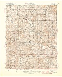
1946 Map of Couch
USGS Topo · Published 1946About this map
Alton serves as the central hub of this 1944 survey, situated at the junction of State Route 19 and State Route 14. The landscape is defined by the winding course of the Eleven Point River and a dense network of smaller waterways like Piney Creek and Frederick Creek. This area of Oregon County is notably characterized by its high concentration of local schools and churches, including Royal Oak Sch, Smyrna Sch, and Huddleston Ch, indicating a deeply rooted rural community structure.
Find a feature on this map
63 named features on this map. Tap any name to fly to it.
Don’t see what you’re looking for? This feature index may not catch every label — zoom into the map to look around manually.
Map Details
Editions of this 1946 Couch Map
2 editions found
Other maps of this area

1931 · Bandyville
USGS Topo · 1:48,000

1941 · Gatewood
USGS Topo · 1:62,500

1943 · Thayer
USGS Topo · 1:62,500

1944 · Van Buren
USGS Topo · 1:62,500

1944 · Couch
USGS Topo · 1:62,500

1944 · Birch Tree
USGS Topo · 1:62,500

1945 · Gatewood
USGS Topo · 1:62,500

1945 · Montier
USGS Topo · 1:62,500

1946 · Thayer
USGS Topo · 1:62,500

1946 · Couch
USGS Topo · 1:62,500