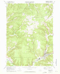
1969 Map of Coudersport
USGS Topo · Published 1972About this map
The Allegheny River valley serves as the focal point for this 1969 survey, where the borough of Coudersport sits at the junction of Mill Creek and the main river channel. The landscape is defined by the sharp transition between the developed valley floor and the surrounding plateaus, heavily occupied by State Game Lands No 204 and the Susquehannock State Forest. To the west, the path of the Old Allegheny Railroad Grade follows the riverbank past Olmsted, tracing a retired industrial corridor through the hills.
Find a feature on this map
48 named features on this map. Tap any name to fly to it.
Don’t see what you’re looking for? This feature index may not catch every label — zoom into the map to look around manually.
Map Details
Editions of this 1969 Coudersport Map
Other maps of this area

1932 · Genesee
USGS Topo · 1:62,500

1934 · Coudersport
USGS Topo · 1:48,000

1937 · Genesee
USGS Topo · 1:62,500

1938 · Coudersport
USGS Topo · 1:62,500

1947 · Conrad
USGS Topo · 1:62,500

1947 · Ayers Hill
USGS Topo · 1:24,000

1948 · Emporium
USGS Topo · 1:62,500

1948 · Keating Summit
USGS Topo · 1:24,000
1948 · Austin
USGS Topo · 1:24,000
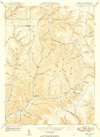
1949 · Ayers Hill
USGS Topo · 1:24,000