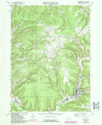
1969 Map of Coudersport
USGS Topo · Published 1988About this map
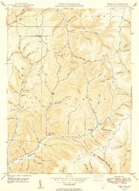
Coudersport occupies the river valley at the confluence of the Allegheny River and several major runs, serving as the primary hub of this Potter County landscape in 1969. The map details a transition from the structured street grid of the borough, featuring the High Sch, a Heliport, and the Eulalia Cem, to the surrounding hills defined by resource extraction and conservation. Numerous Gas Wells and an extensive network of Underground Pipelines crisscross the high ground, particularly near Hebron and Crandall Hollow. Large tracts of the northern and southern portions are dedicated to State Game Lands No. 204 and the Susquehannock State Forest. Local transit history is visible through the Old Railroad Grade following the river and the Old Allegheny Road, while a Lookout Tower on Greenman Hill monitors the heavily wooded terrain of the Allegheny Plateau.
Find a feature on this map
68 named features on this map. Tap any name to fly to it.
Don’t see what you’re looking for? This feature index may not catch every label — zoom into the map to look around manually.
Map Details
Editions of this 1969 Coudersport Map
Other maps of this area

1932 · Genesee
USGS Topo · 1:62,500

1934 · Coudersport
USGS Topo · 1:48,000

1937 · Genesee
USGS Topo · 1:62,500

1938 · Coudersport
USGS Topo · 1:62,500

1947 · Conrad
USGS Topo · 1:62,500

1947 · Ayers Hill
USGS Topo · 1:24,000

1948 · Emporium
USGS Topo · 1:62,500

1948 · Keating Summit
USGS Topo · 1:24,000
1948 · Austin
USGS Topo · 1:24,000
1949 · Ayers Hill
USGS Topo · 1:24,000