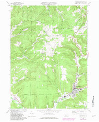
1969 Map of Coudersport
USGS Topo · Published 1981About this map
The Allegheny River valley serves as the industrial and civic heart of this north-central Pennsylvania region, with the borough of Coudersport positioned at the confluence of Mill Creek and the river. At the time of this survey, the town's footprint includes a High Sch, a Heliport, and St Eulalias Ch, while the surrounding hills are heavily defined by the energy infrastructure of the Storage Gas Field. A dense network of underground gas pipelines and numerous gas wells punctuate the landscape of Hebron and Clara, illustrating the significant role of natural gas extraction and storage in the local economy.
Find a feature on this map
59 named features on this map. Tap any name to fly to it.
Don’t see what you’re looking for? This feature index may not catch every label — zoom into the map to look around manually.
Map Details
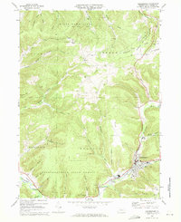
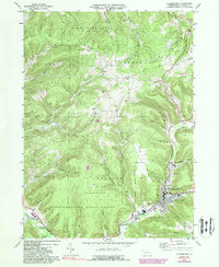
Editions of this 1969 Coudersport Map
Other maps of this area

1932 · Genesee
USGS Topo · 1:62,500

1934 · Coudersport
USGS Topo · 1:48,000

1937 · Genesee
USGS Topo · 1:62,500

1938 · Coudersport
USGS Topo · 1:62,500

1947 · Conrad
USGS Topo · 1:62,500

1947 · Ayers Hill
USGS Topo · 1:24,000

1948 · Emporium
USGS Topo · 1:62,500

1948 · Keating Summit
USGS Topo · 1:24,000
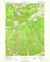
1948 · Austin
USGS Topo · 1:24,000
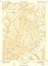
1949 · Ayers Hill
USGS Topo · 1:24,000