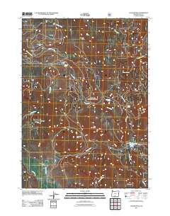
2011 Map of Cougar Peak
USGS Topo · Published 2011About this map
Rosalite Mine and the Angel Peak Mine sit on the western slopes of Angel Peak, marking a legacy of extraction in this corner of Lake County. The landscape is defined by high-elevation ridges and expansive basins, such as Razor Back Ridge and Pot Flat, where various springs like Shoesole Spring and McClendon Spring provide critical water sources for the region's ranching operations. The presence of Drews Valley Ranch and the seasonal outpost of Lucky Camp suggest a territory shaped by livestock and remote timber or mining interests.
Find a feature on this map
29 named features on this map. Tap any name to fly to it.
Don’t see what you’re looking for? This feature index may not catch every label — zoom into the map to look around manually.
Map Details
Editions of this 2011 Cougar Peak Map
This is the sole edition of this map. No revisions or reprints were ever made.
Other maps of this area

1955 · Klamath Falls
USGS Topo · 1:250,000

1958 · Klamath Falls
USGS Topo · 1:250,000

1960 · Strawberry Butte
USGS Topo · 1:62,500

1960 · Fishhole Mtn
USGS Topo · 1:62,500

1964 · Drews Reservoir
USGS Topo · 1:24,000

1964 · Cox Flat
USGS Topo · 1:24,000

1964 · Coleman Point
USGS Topo · 1:24,000

1964 · Cougar Peak
USGS Topo · 1:24,000

1964 · Shoestring Butte
USGS Topo · 1:24,000

1964 · Drews Gap
USGS Topo · 1:24,000