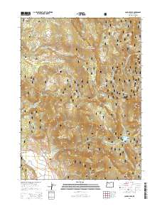
2014 Map of Cougar Peak
USGS Topo · Published 2014About this map
Fremont National Forest dominates this high-altitude corner of Lake County, where steep volcanic topography is defined by prominent summits and expansive mountain flats. High points like Cougar Peak and Angel Peak overlook a landscape of complex drainage basins, including the headwaters of Drews Cr and Cottonwood Cr. The map reveals a high-desert timber and grazing environment where named terrain features like Dutch Oven Flat and Shoesole Flat suggest a history of seasonal range use. Transport through this high country is limited to a network of established forestry routes such as Natl Forest Develop Road 3715 Rd, while the Klamath Falls-Lakeview Hwy provides the primary passage through Drews Valley in the south. The abundance of named water sources, such as Shoesole Spring and Hidden Springs, underscores the importance of reliable water in this arid highland terrain.
Find a feature on this map
40 named features on this map. Tap any name to fly to it.
Don’t see what you’re looking for? This feature index may not catch every label — zoom into the map to look around manually.
Map Details
Editions of this 2014 Cougar Peak Map
This is the sole edition of this map. No revisions or reprints were ever made.
Other maps of this area

1955 · Klamath Falls
USGS Topo · 1:250,000

1958 · Klamath Falls
USGS Topo · 1:250,000

1960 · Strawberry Butte
USGS Topo · 1:62,500

1960 · Fishhole Mtn
USGS Topo · 1:62,500

1964 · Drews Reservoir
USGS Topo · 1:24,000

1964 · Cox Flat
USGS Topo · 1:24,000

1964 · Coleman Point
USGS Topo · 1:24,000

1964 · Cougar Peak
USGS Topo · 1:24,000

1964 · Shoestring Butte
USGS Topo · 1:24,000

1964 · Drews Gap
USGS Topo · 1:24,000