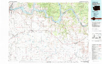
1983 Map of Coulee Dam
USGS Topo · Published 1983About this map
Grand Coulee Dam anchors this landscape, holding the vast waters of Lake Roosevelt as it winds through the deep canyons of the Columbia River. The map captures the complex geography of north-central Washington in the early 1980s, where the river serves as a natural boundary for the Colville Indian Reservation and the Spokane Indian Reservation. South of the water, the terrain transitions into the high plains of Lincoln County, defined by the steady transit of the Burlington Northern railroad connecting agricultural hubs like Davenport and Wilbur. This 1983 revision offers a detailed look at the infrastructure of the Coulee Dam National Recreation Area and the rugged topography of the Swawilla Basin. Notable peaks such as Mica Mtn and Johnny George Mtn rise above the river breaks, while the intricate system of coulees and creeks, including Wilson Creek and Crab Creek, reveals the ancient volcanic drainage patterns of the region.
Find a feature on this map
62 named features on this map. Tap any name to fly to it.
Don’t see what you’re looking for? This feature index may not catch every label — zoom into the map to look around manually.
Map Details
Editions of this 1983 Coulee Dam Map
2 editions found

Other maps of this area

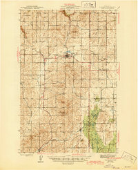
1927 · Chewelah
USGS Topo · 1:125,000

1930 · Chewelah
USGS Topo · 1:125,000

1944 · Wellpinit
USGS Topo · 1:62,500
1945 · Reardan
USGS Topo · 1:62,500

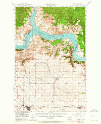
1948 · Grand Coulee Dam
USGS Topo · 1:62,500

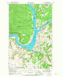
1948 · Hunters
USGS Topo · 1:62,500
1948 · Wilbur
USGS Topo · 1:62,500

1948 · Wilmont Creek
USGS Topo · 1:62,500
1948 · Lincoln
USGS Topo · 1:62,500

1948 · Turtle Lake
USGS Topo · 1:62,500