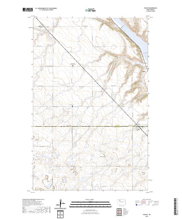
2024 Map of Coulee
USGS Topo · Published 2024About this map
Des Lacs National Wildlife Refuge marks the northeast corner of this prairie landscape, where the terrain breaks into the drainage systems of Baden Coulee and Mott Coulee. The map captures a section of the Ward County and Mountrail County line, characterized by a deliberate grid of section roads like 338th Ave NW and 506th St NW. Settlement patterns are concentrated at Kenaston, Baden, and Coulee, small hubs that served the surrounding agricultural community. For those tracing family history in this portion of North Dakota, the map identifies several significant burial sites, including the Spring Valley Mennonite Cem, Baden Cem, and Coulee Cem. This modern survey provides a clear view of how these rural communities and landmarks persist along the edges of the wildlife refuge.
Find a feature on this map
36 named features on this map. Tap any name to fly to it.
Don’t see what you’re looking for? This feature index may not catch every label — zoom into the map to look around manually.
Map Details
Editions of this 2024 Coulee Map
This is the sole edition of this map. No revisions or reprints were ever made.
Other maps of this area

1947 · Tolley
USGS Topo · 1:62,500

1948 · Kenmare
USGS Topo · 1:24,000

1948 · Norma
USGS Topo · 1:24,000

1948 · Donnybrook
USGS Topo · 1:24,000

1949 · Mosquito Butte
USGS Topo · 1:24,000

1949 · Niobe
USGS Topo · 1:24,000

1949 · Coulee
USGS Topo · 1:24,000

1950 · Kenmare
USGS Topo · 1:62,500

1950 · Tolley
USGS Topo · 1:62,500

1953 · Williston
USGS Topo · 1:250,000