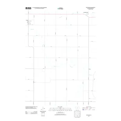
2013 Map of Coulter
USGS Topo · Published 2013About this map
Coulter serves as the primary hub of this northern Iowa agricultural landscape, organized by the precise section-line grid of the Jeffersonian survey system. In 2013, the town layout is clearly defined by north-south streets such as Taft St and Marston St, intersected by a numerical sequence from 2nd St to 6th St. Beyond the organized streets of the town and the smaller settlement of Reeve, the terrain is shaped by the meandering courses of Maynes Creek and Squaw Cr. These waterways cut across the rectilinear road network of Indigo Ave and Killdeer Ave, illustrating the intersection of natural drainage and the rigid human-imposed geometry of Franklin County. The northwestern boundary of Washington township is visible in the upper reaches, where rural life is delineated by mile-spaced avenues and local thoroughfares like 140th St.
Find a feature on this map
35 named features on this map. Tap any name to fly to it.
Don’t see what you’re looking for? This feature index may not catch every label — zoom into the map to look around manually.
Map Details
Editions of this 2013 Coulter Map
This is the sole edition of this map. No revisions or reprints were ever made.
Other maps of this area

1954 · Waterloo
USGS Topo · 1:250,000

1955 · Waterloo
USGS Topo · 1:250,000

1972 · Alexander
USGS Topo · 1:24,000

1972 · Latimer
USGS Topo · 1:24,000

1972 · Hampton North
USGS Topo · 1:24,000

1979 · Dows East
USGS Topo · 1:24,000

1979 · Coulter
USGS Topo · 1:24,000

1979 · Iowa Falls West
USGS Topo · 1:24,000

1979 · Popejoy
USGS Topo · 1:24,000

1979 · Iowa Falls East
USGS Topo · 1:24,000