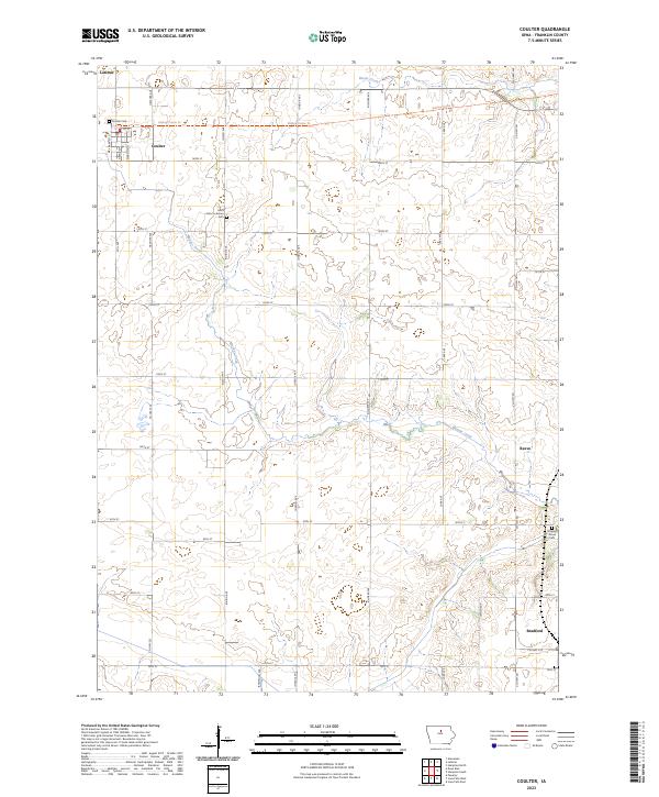
2023 Map of Coulter
USGS Topo · Published 2023About this map
Coulter and Latimer anchor the northern edge of this Franklin County landscape, where the rectilinear grid of rural roads meets the meandering paths of Maynes Creek and Beeds Creek. The map provides significant detail for genealogists and local historians, identifying several key burial sites including the Coulter Cem, Saint Johns Lutheran Cem, and the southern Maynes Grove Cem. These locations, paired with the established settlements of Reeve and Bradford, trace the historical development of the region's agricultural townships.
Find a feature on this map
39 named features on this map. Tap any name to fly to it.
Don’t see what you’re looking for? This feature index may not catch every label — zoom into the map to look around manually.
Map Details
Editions of this 2023 Coulter Map
This is the sole edition of this map. No revisions or reprints were ever made.
Other maps of this area

1954 · Waterloo
USGS Topo · 1:250,000

1955 · Waterloo
USGS Topo · 1:250,000

1972 · Alexander
USGS Topo · 1:24,000

1972 · Latimer
USGS Topo · 1:24,000

1972 · Hampton North
USGS Topo · 1:24,000

1979 · Dows East
USGS Topo · 1:24,000

1979 · Coulter
USGS Topo · 1:24,000

1979 · Iowa Falls West
USGS Topo · 1:24,000

1979 · Popejoy
USGS Topo · 1:24,000

1979 · Iowa Falls East
USGS Topo · 1:24,000