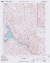
2001 Map of Coulterville
USGS Topo · Published 2004About this map
Coulterville and Greeley Hill sit at the center of this Gold Country landscape, where the northern border of Mariposa County meets Tuolumne County. The terrain is defined by deep drainages like Maxwell Creek and Blacks Creek that flow toward the significant expanse of Lake McClure in the west. This 2001 revision illustrates the complex topography of the Sierra foothills, including the prominent Mahoney Ridge and Penon Blanco Point. Evidence of the region's mining heritage is visible through several labeled Prospects and the settlement of Dogtown. The eastern portion of the map transition into the Stanislaus National Forest, showing a network of mountain roads and remote landmarks such as Virginia Point and Bull Run Flat. The presence of the Greeley Sch and a local Landing Strip provides insight into the infrastructure of these upland communities.
Find a feature on this map
29 named features on this map. Tap any name to fly to it.
Don’t see what you’re looking for? This feature index may not catch every label — zoom into the map to look around manually.
Map Details
Editions of this 2001 Coulterville Map
2 editions found
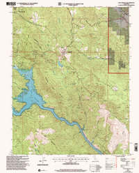
Other maps of this area

1893 · Sonora
USGS Topo · 1:125,000

1896 · Sonora
USGS Topo · 1:125,000

1897 · Sonora
USGS Topo · 1:125,000

1898 · Sonora
USGS Topo · 1:125,000

1916 · Merced Falls
USGS Topo · 1:24,000

1919 · Merced Falls
USGS Topo · 1:31,680

1944 · Merced Falls
USGS Topo · 1:62,500

1947 · San Jose
USGS Topo · 1:250,000

1947 · Coulterville
USGS Topo · 1:62,500
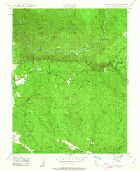
1947 · Jawbone Ridge
USGS Topo · 1:24,000