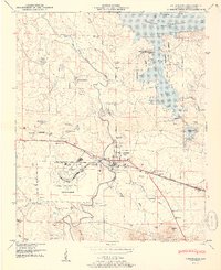
1951 Map of Courtland
USGS Topo · Published 1951About this map
Courtland and the surrounding Lawrence County landscape are defined by the transition from river-bottom agriculture to the industrial and military developments of the mid-20th century. The Wheeler Reservoir dominates the northern boundary, its waters pooled behind the Wheeler Reservation Boundary along Spring Creek. Further south, the footprint of the Courtland Air Base occupies a significant portion of the terrain, complete with its filtration plant, substation, and a nearby firing range. These modern installations contrast with the deep-rooted rural character of the area, evidenced by numerous family and community landmarks such as Sherrod Quarters and the Little Sam School. The Southern railroad and the Joe Wheeler Highway provide the primary east-west corridor through this region, where the land begins to rise toward the wooded slopes of Courtland Mountain and Dedicar Mtn.
Find a feature on this map
51 named features on this map. Tap any name to fly to it.
Don’t see what you’re looking for? This feature index may not catch every label — zoom into the map to look around manually.
Map Details
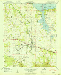
Editions of this 1951 Courtland Map
2 editions found
Other maps of this area

1914 · Rogersville
USGS Topo · 1:48,000

1916 · Rogersville
USGS Topo · 1:62,500

1936 · Caddo
USGS Topo · 1:24,000

1936 · Thorntontown
USGS Topo · 1:24,000

1936 · Courtland
USGS Topo · 1:24,000

1936 · Hillsboro
USGS Topo · 1:24,000

1936 · Wheeler Dam
USGS Topo · 1:24,000

1936 · Town Creek
USGS Topo · 1:24,000

1936 · Cairo
USGS Topo · 1:24,000

1936 · Masterson
USGS Topo · 1:24,000