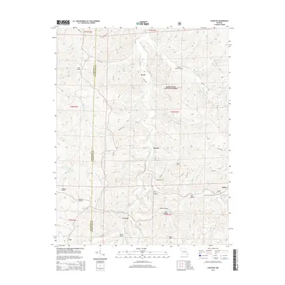
2015 Map of Courtois
USGS Topo · Published 2015About this map
Courtois Creek and its many tributaries, including Hazel Cr and Shoal Cr, carve through the Ozark landscape on the border of Crawford and Washington Counties. This 2015 survey reveals a pattern of dispersed settlements like Brazil, Ishmael, and Courtois that follow the creek valleys and ridge lines. Deep within the Mark Twain National Forest, the map identifies significant local landmarks such as Iron Ore Spring and Dawes Ridge, alongside a high concentration of family and community burial grounds including Antioch Cemetery and Jinkerson Cemetery. The road network, comprised of routes like State Hwy Y and Brakefield Rd, connects these remote communities. The topography is defined by numerous hollows, such as Todd Hollow and Boiling Springs Hollow, illustrating how the drainage patterns of the Courtois Hills have historically shaped regional movement and settlement.
Find a feature on this map
61 named features on this map. Tap any name to fly to it.
Don’t see what you’re looking for? This feature index may not catch every label — zoom into the map to look around manually.
Map Details
Editions of this 2015 Courtois Map
This is the sole edition of this map. No revisions or reprints were ever made.
Other maps of this area

1906 · Potosi
USGS Topo · 1:62,500

1924 · Edgehill
USGS Topo · 1:62,500

1926 · Edgehill
USGS Topo · 1:62,500

1943 · Berryman
USGS Topo · 1:62,500

1943 · Boss
USGS Topo · 1:62,500

1945 · Berryman
USGS Topo · 1:62,500

1946 · Boss
USGS Topo · 1:62,500

1949 · Rolla
USGS Topo · 1:250,000

1953 · Rolla
USGS Topo · 1:250,000

1954 · Rolla
USGS Topo · 1:250,000