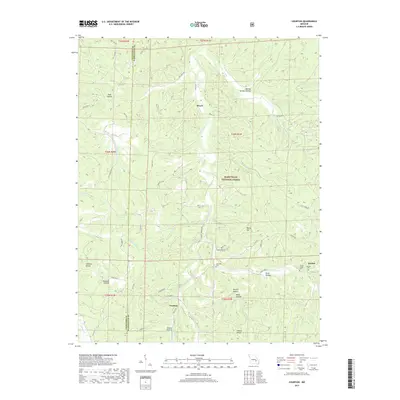
2017 Map of Courtois
USGS Topo · Published 2017About this map
Courtois Creek meanders through the heart of this Ozark landscape, defining the character of a region deeply integrated with the Mark Twain National Forest. The settlement pattern is sparse and centered on small communities such as Brazil, Courtois, and Quaker, which serve as anchors in a terrain dominated by timbered ridges and hollows. The presence of several family and community burial grounds, including the Antioch Cem and Jinkerson Cem, provides significant points of interest for genealogists tracing local lineage in this part of Washington and Crawford counties.
Find a feature on this map
68 named features on this map. Tap any name to fly to it.
Don’t see what you’re looking for? This feature index may not catch every label — zoom into the map to look around manually.
Map Details
Editions of this 2017 Courtois Map
This is the sole edition of this map. No revisions or reprints were ever made.
Other maps of this area

1906 · Potosi
USGS Topo · 1:62,500

1924 · Edgehill
USGS Topo · 1:62,500

1926 · Edgehill
USGS Topo · 1:62,500

1943 · Berryman
USGS Topo · 1:62,500

1943 · Boss
USGS Topo · 1:62,500

1945 · Berryman
USGS Topo · 1:62,500

1946 · Boss
USGS Topo · 1:62,500

1949 · Rolla
USGS Topo · 1:250,000

1953 · Rolla
USGS Topo · 1:250,000

1954 · Rolla
USGS Topo · 1:250,000