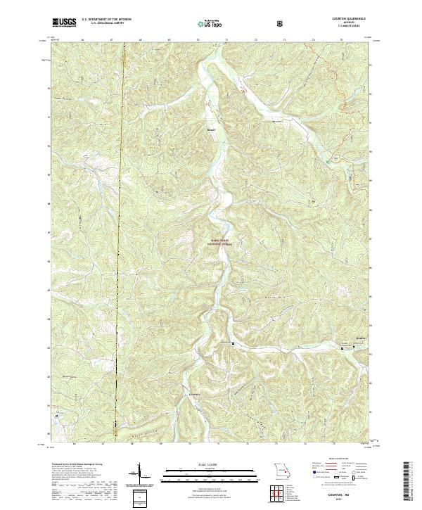
2021 Map of Courtois
USGS Topo · Published 2021About this map
The Crawford Co Washington Co boundary cuts through a heavily dissected landscape within the Mark Twain National Forest. This region is defined by the winding course of Courtois Creek and its many tributaries, including Trace Cr and Hazel Cr. The settlement pattern is sparse, concentrated at small crossroads and hollows like Courtois, Brazil, and Quaker.
Find a feature on this map
49 named features on this map. Tap any name to fly to it.
Don’t see what you’re looking for? This feature index may not catch every label — zoom into the map to look around manually.
Map Details
Editions of this 2021 Courtois Map
This is the sole edition of this map. No revisions or reprints were ever made.
Other maps of this area

1906 · Potosi
USGS Topo · 1:62,500

1924 · Edgehill
USGS Topo · 1:62,500

1926 · Edgehill
USGS Topo · 1:62,500

1943 · Berryman
USGS Topo · 1:62,500

1943 · Boss
USGS Topo · 1:62,500

1945 · Berryman
USGS Topo · 1:62,500

1946 · Boss
USGS Topo · 1:62,500

1949 · Rolla
USGS Topo · 1:250,000

1953 · Rolla
USGS Topo · 1:250,000

1954 · Rolla
USGS Topo · 1:250,000