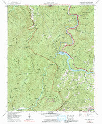
1967 Map of Cove Creek Gap
USGS Topo · Published 1991About this map
Cataloochee valley and the high ridges of the Great Smoky Mountains dominate this landscape, reflecting a transitional era where traditional Appalachian settlements met large-scale conservation. The map captures the remote community of Nellie and the Little Cataloochee Ch area, where family histories are preserved in sites like Hannah Cem and Sutton Cem. The terrain is defined by steep gaps and ridges, including Mt Sterling Gap and Cove Creek Gap, which once dictated the flow of travel through these mountains.
Find a feature on this map
122 named features on this map. Tap any name to fly to it.
Don’t see what you’re looking for? This feature index may not catch every label — zoom into the map to look around manually.
Map Details
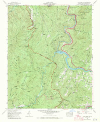
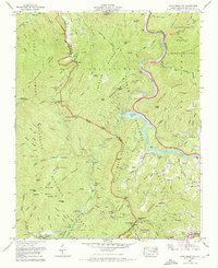
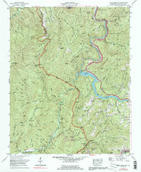
Editions of this 1967 Cove Creek Gap Map
4 editions found
Other maps of this area

1893 · Mt Guyot
USGS Topo · 1:125,000

1894 · Asheville
USGS Topo · 1:125,000

1901 · Asheville
USGS Topo · 1:125,000

1912 · Mt Guyot
USGS Topo · 1:125,000

1935 · Newport
USGS Topo · 1:48,000

1935 · Hartford
USGS Topo · 1:24,000

1935 · Dellwood
USGS Topo · 1:24,000

1935 · Clyde
USGS Topo · 1:24,000

1935 · Lemon Gap
USGS Topo · 1:24,000

1936 · Bunches Bald
USGS Topo · 1:24,000