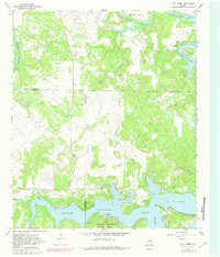
1967 Map of Cove Creek
USGS Topo · Published 1982About this map
The Brazos River snakes through the landscape in deep loops such as Brier Bend, Salem Bend, and Long Bend before broadening into the expanse of Possum Kingdom Lake. This late-1960s survey, with updates from the early 1980s, captures a rural intersection where Young, Stephens, and Palo Pinto counties meet. The economy of the era is clearly defined by numerous Oil Wells and a Landing Strip located near the water's edge, reflecting the region's energy production and increasing recreational footprint.
Find a feature on this map
30 named features on this map. Tap any name to fly to it.
Don’t see what you’re looking for? This feature index may not catch every label — zoom into the map to look around manually.
Map Details
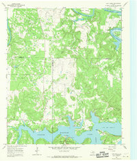
Editions of this 1967 Cove Creek Map
2 editions found
Other maps of this area

1890 · Breckenridge
USGS Topo · 1:125,000

1891 · Palo Pinto
USGS Topo · 1:125,000

1918 · Palo Pinto
USGS Topo · 1:125,000

1924 · Breckenridge 1-a
USGS Topo · 1:48,000

1924 · Palo Pinto 2-b
USGS Topo · 1:48,000

1924 · Graham 4-d
USGS Topo · 1:48,000

1924 · Palo Pinto 2-c
USGS Topo · 1:48,000

1924 · Breckenridge 1-d
USGS Topo · 1:48,000

1925 · Graham 4-c
USGS Topo · 1:48,000

1925 · Breckenridge 1-b
USGS Topo · 1:48,000