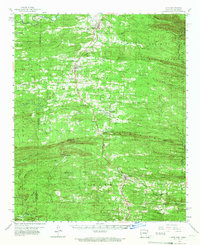
1959 Map of Cove
USGS Topo · Published 1967About this map
The Kansas City Southern railroad serves as the central spine of this landscape, connecting a series of ridge-top settlements including Hatfield, Vandervoort, and Wickes. Situated along the Oklahoma-Arkansas border, the area is defined by the sharp transition between the Ouachita National Forest and the White Mountains. Local life in the late 1950s is reflected in the numerous country churches and cemeteries that dot the timbered hills, such as Bethel Chapel, Westview Ch, and Crystal Hill Cem.
Find a feature on this map
67 named features on this map. Tap any name to fly to it.
Don’t see what you’re looking for? This feature index may not catch every label — zoom into the map to look around manually.
Map Details
Editions of this 1959 Cove Map
2 editions found

Other maps of this area

1890 · Poteau Mountain
USGS Topo · 1:125,000

1899 · Poteau Mountain
USGS Topo · 1:125,000

1900 · Winding Stair
USGS Topo · 1:125,000

1902 · Lukfata
USGS Topo · 1:125,000

1909 · Winding Stair
USGS Topo · 1:125,000

1913 · De Queen
USGS Topo · 1:125,000

1950 · Mcalester
USGS Topo · 1:250,000

1958 · Mena
USGS Topo · 1:62,500

1958 · Potter
USGS Topo · 1:62,500

1958 · Zafra
USGS Topo · 1:24,000