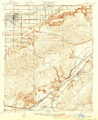
1927 Map of Covina
USGS Topo · Published 1939About this map
Covina and West Covina stand as established citrus-belt hubs in this survey conducted during the mid-1920s. The landscape is defined by the sharp contrast between the orderly grid of the San Jose Addition and the steep, complex terrain of the San Jose Hills. Early 20th-century institutional history is prominently marked by the Masonic Home and the Protestant Home For Boys, located along the fringes of the rising topography.
Find a feature on this map
36 named features on this map. Tap any name to fly to it.
Don’t see what you’re looking for? This feature index may not catch every label — zoom into the map to look around manually.
Map Details
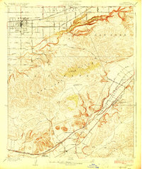
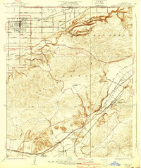
Editions of this 1927 Covina Map
3 editions found
Other maps of this area

1894 · Pomona
USGS Topo · 1:62,500

1896 · Anaheim
USGS Topo · 1:62,500

1897 · Pomona
USGS Topo · 1:62,500

1898 · Pomona
USGS Topo · 1:62,500

1898 · Anaheim
USGS Topo · 1:62,500

1901 · Southern California Sheet No. 1
USGS Topo · 1:250,000

1901 · Anaheim
USGS Topo · 1:62,500

1902 · Corona
USGS Topo · 1:125,000

1904 · Pomona
USGS Topo · 1:62,500

1904 · Southern California Sheet No. 1
USGS Topo · 1:250,000