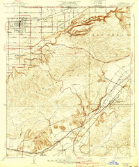
1927 Map of Covina
USGS Topo · Published 1939About this map
Citrus groves and developing residential grids define the valley floor surrounding Covina and West Covina in the years before mid-century suburbanization. This mid-1920s survey shows a landscape shaped by three major rail lines—the Southern Pacific, Union Pacific, and the Pacific Electric—which provided the necessary infrastructure for the region's agricultural and institutional growth.
Find a feature on this map
39 named features on this map. Tap any name to fly to it.
Don’t see what you’re looking for? This feature index may not catch every label — zoom into the map to look around manually.
Map Details
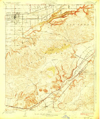
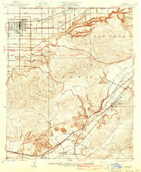
Editions of this 1927 Covina Map
3 editions found
Other maps of this area

1894 · Pomona
USGS Topo · 1:62,500

1896 · Anaheim
USGS Topo · 1:62,500

1897 · Pomona
USGS Topo · 1:62,500

1898 · Pomona
USGS Topo · 1:62,500

1898 · Anaheim
USGS Topo · 1:62,500

1901 · Southern California Sheet No. 1
USGS Topo · 1:250,000

1901 · Anaheim
USGS Topo · 1:62,500

1902 · Corona
USGS Topo · 1:125,000

1904 · Pomona
USGS Topo · 1:62,500

1904 · Southern California Sheet No. 1
USGS Topo · 1:250,000