
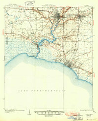
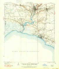
1935 Map of Covington
USGS Topo · Published 1935About this map
Covington serves as the regional hub in this 1930s survey, where the Bogue Falaya River and Abita River converge. The landscape is defined by the winding waterways that flow toward Lake Pontchartrain, supporting a network of waterfront settlements including Mandeville, Lewisburg, and Madisonville. A significant maritime landmark, the Chefuncte LH, stands at the mouth of the Chefuncte River, marking the transition from river navigation to open water.
Find a feature on this map
41 named features on this map. Tap any name to fly to it.
Don’t see what you’re looking for? This feature index may not catch every label — zoom into the map to look around manually.
Map Details
Editions of this 1935 Covington Map
3 editions found
Other maps of this area

1891 · Spanish Fort
USGS Topo · 1:62,500

1892 · Chef Menteur
USGS Topo · 1:62,500

1892 · Bonnet Carre
USGS Topo · 1:62,500

1935 · Slidell
USGS Topo · 1:62,500

1935 · Ponchatoula
USGS Topo · 1:62,500

1936 · South Point
USGS Topo · 1:31,680

1936 · Bonnet Carre
USGS Topo · 1:62,500

1936 · Chef Menteur
USGS Topo · 1:62,500

1936 · Spanish Fort
USGS Topo · 1:62,500

1939 · Ponchatoula
USGS Topo · 1:62,500