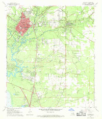
1968 Map of Covington
USGS Topo · Published 1969About this map
The confluence of the Tchefuncta River and Bogue Falaya anchors this late-1960s study of St. Tammany Parish, where the urban center of Covington contrasts with the surrounding piney woods and creek basins. The map illustrates a landscape of religious and educational institutions, including St Pauls College, St Scholastic Sch, and the Eucharistic Novitiate. Further south, the town of Mandeville sits near the northern end of the Causeway, marking a period of increasing connectivity for the region.
Find a feature on this map
56 named features on this map. Tap any name to fly to it.
Don’t see what you’re looking for? This feature index may not catch every label — zoom into the map to look around manually.
Map Details
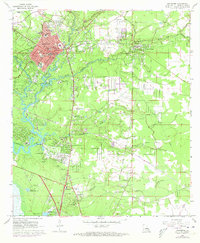
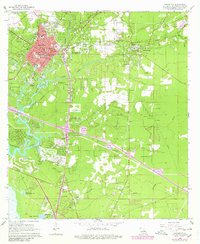
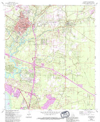
Editions of this 1968 Covington Map
4 editions found
Other maps of this area

1935 · Slidell
USGS Topo · 1:62,500

1935 · Covington
USGS Topo · 1:62,500

1939 · Slidell
USGS Topo · 1:62,500

1939 · Covington
USGS Topo · 1:62,500

1942 · Onville
USGS Topo · 1:31,680

1942 · Waldheim
USGS Topo · 1:31,680

1942 · Talisheek
USGS Topo · 1:31,680

1950 · Slidell
USGS Topo · 1:62,500

1950 · Covington
USGS Topo · 1:62,500

1953 · Mobile
USGS Topo · 1:250,000