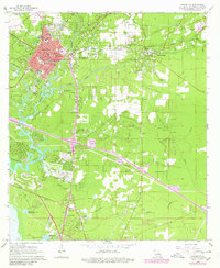
1968 Map of Covington
USGS Topo · Published 1980About this map
The Bogue Falaya and Tchefuncta River converge at Covington, anchoring a landscape defined by its riverine networks and mid-century growth. This survey, updated through the late 1970s, captures the transition of St. Tammany Parish as modern infrastructure like the Illinois Central Gulf railroad and new highway interchanges began to reshape the older settlement patterns. Educational and religious institutions are prominent, including St Pauls College, St Scholastica Sch, and the Eucharistic Novitiate.
Find a feature on this map
50 named features on this map. Tap any name to fly to it.
Don’t see what you’re looking for? This feature index may not catch every label — zoom into the map to look around manually.
Map Details
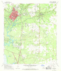
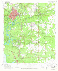
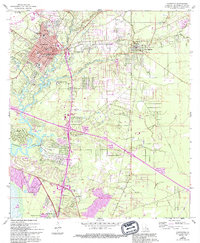
Editions of this 1968 Covington Map
4 editions found
Other maps of this area

1935 · Slidell
USGS Topo · 1:62,500

1935 · Covington
USGS Topo · 1:62,500

1939 · Slidell
USGS Topo · 1:62,500

1939 · Covington
USGS Topo · 1:62,500

1942 · Onville
USGS Topo · 1:31,680

1942 · Waldheim
USGS Topo · 1:31,680

1942 · Talisheek
USGS Topo · 1:31,680

1950 · Slidell
USGS Topo · 1:62,500

1950 · Covington
USGS Topo · 1:62,500

1953 · Mobile
USGS Topo · 1:250,000