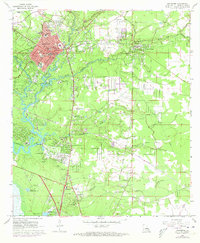
1968 Map of Covington
USGS Topo · Published 1973About this map
The parish seat of Covington serves as the focal point for this survey, situated at the confluence of the Bogue Falaya River and Tchefuncta River. By the late 1960s and early 1970s, the area was experiencing a period of transition, evidenced by significant infrastructure projects such as Causeway Blvd and several roadways marked as Under Construction. Local institutions define the town’s character, including St Pauls College, St Peters Sch, and the Parish Hospital.
Find a feature on this map
52 named features on this map. Tap any name to fly to it.
Don’t see what you’re looking for? This feature index may not catch every label — zoom into the map to look around manually.
Map Details
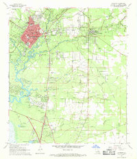
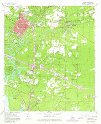
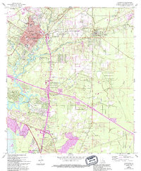
Editions of this 1968 Covington Map
4 editions found
Other maps of this area

1935 · Slidell
USGS Topo · 1:62,500

1935 · Covington
USGS Topo · 1:62,500

1939 · Slidell
USGS Topo · 1:62,500

1939 · Covington
USGS Topo · 1:62,500

1942 · Onville
USGS Topo · 1:31,680

1942 · Waldheim
USGS Topo · 1:31,680

1942 · Talisheek
USGS Topo · 1:31,680

1950 · Slidell
USGS Topo · 1:62,500

1950 · Covington
USGS Topo · 1:62,500

1953 · Mobile
USGS Topo · 1:250,000