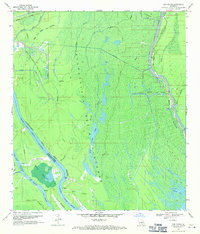
1969 Map of Cow Bayou
USGS Topo · Published 1971About this map
The Atchafalaya Basin Floodway dominates this landscape, showing a complex network of waterways managed for flood control in the late 1960s. The map illustrates the industrial footprint within the basin, featuring the Bayou des Glaises Oil and Gas Field and the Bayou Henry Gas Field. These energy sites are situated amidst a dense labyrinth of bayous, including Bristow Bayou and Straight Bayou, which drain into larger features like the Whisky Bay Pilot Channel. Evidence of human engineering is constant, from the East Protection Levee shielding the land to the Cow Island Cut-off on the Upper Grand River. Notable local landmarks like Klondike and the Bayou Bouillon area provide specific points of interest for those tracing the history of resource extraction and water management in Iberville Parish.
Find a feature on this map
30 named features on this map. Tap any name to fly to it.
Don’t see what you’re looking for? This feature index may not catch every label — zoom into the map to look around manually.
Map Details
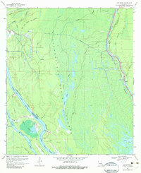
Editions of this 1969 Cow Bayou Map
2 editions found
Other maps of this area

1935 · Osca Bayou
USGS Topo · 1:62,500

1935 · Chicot Lake
USGS Topo · 1:62,500

1940 · Grosse Tete
USGS Topo · 1:62,500

1941 · Loreauville
USGS Topo · 1:62,500

1953 · Cow Bayou
USGS Topo · 1:24,000

1953 · Pigeon Bay
USGS Topo · 1:24,000

1953 · Maringouin
USGS Topo · 1:24,000

1953 · Grosse Tete SW
USGS Topo · 1:24,000

1954 · Chicot Lake
USGS Topo · 1:62,500

1954 · Loreauville
USGS Topo · 1:62,500